Central Madrid is walkable to an unusual degree: most of the landmarks a visitor comes for — Sol, Plaza Mayor, the Royal Palace, the Prado, Gran Vía — sit within a rough 2km circle, and the walk between any two of them is typically 10 to 25 minutes. This is a compact historic core, not a sprawling one.
How far apart are the main landmarks, in real terms?
Straight-line and street distances between the core sights are short. Puerta del Sol, the square marked as Kilometre Zero for Spain’s radial road network, sits about 500 metres from Plaza Mayor — a walk of five to seven minutes through narrow streets.
From Sol to the Royal Palace is roughly 800 metres to a kilometre, depending on route, so figure 12 to 15 minutes on foot. Sol to the Almudena Cathedral, next to the palace, is much the same distance.
Sol to the Prado Museum is a little over a kilometre, around 15 minutes, mostly along Carrera de San Jerónimo. The Prado sits close to the northern edge of Retiro park, so continuing on to the park gates adds only a few more minutes. The three galleries that make up what is sometimes called Madrid’s “art triangle” — the Prado, the Thyssen-Bornemisza, and the Reina Sofía — are arranged in a rough line down the Paseo del Prado, each roughly 10 to 15 minutes’ walk from its neighbour.
Sol to Plaza de España, at the western end of Gran Vía, is about 1.5km, around 20 minutes. Gran Vía itself, the avenue cut through the old city between 1910 and 1929, runs roughly 1.3km end to end and can be walked in 15 to 18 minutes without stopping.
What does this mean for a day of sightseeing on foot?
It means the historic centre rewards walking over transferring between metro lines for short hops. A loop taking in Sol, Plaza Mayor, the Royal Palace, and back through the old town covers perhaps 3km total — well under an hour of actual walking, spread across however long the stops themselves take.
A longer day linking the old town to the Paseo del Prado museums and into Retiro adds another 2 to 3km. That is a comfortable, if unhurried, single day on foot for most visitors, and it is the geography that makes Madrid’s centre feel smaller than its population suggests.

Where does the grid stop being simple?
“Central Madrid” is not one uniform grid. The area known as Madrid de los Austrias, dating largely from the Habsburg period, is a tangle of narrow, irregular streets rather than a planned layout — distances there are short but routes are rarely straight lines, and a phone map’s suggested path often zigzags for a reason.
By contrast, the Barrio de Salamanca, laid out from the 1860s onward, is a genuine grid, with long straight avenues that make distances easier to judge but also longer in practice — blocks are bigger than they look on a small map.
La Latina and Lavapiés, both south of the historic centre, sit on sloped, older street patterns; Malasaña and Chueca, north of Gran Vía, are denser and flatter, and connect to each other and to Sol in walks of 10 to 20 minutes. The district and barrio system that organises all of this is administrative, not architectural — a barrio’s boundary doesn’t always match where one style of street ends and another begins.
Is central Madrid flat enough to walk comfortably?
Mostly, though not entirely. The city sits on a plateau and the very centre is relatively gentle, but there is a genuine slope down from the Royal Palace and Plaza de Oriente toward the Manzanares river to the west, and a rise from Sol up toward Gran Vía and Chueca. Neither is severe by the standards of a hill city, but a route planned purely by straight-line distance can undersell the effort involved.
When does it make sense to take transport instead of walking?
Anything crossing between the centre and outer districts — Retiro and beyond, Moncloa, Tetuán — starts to exceed what most people will walk for its own sake, typically 3km or more, and this is where Madrid’s transport network earns its place.
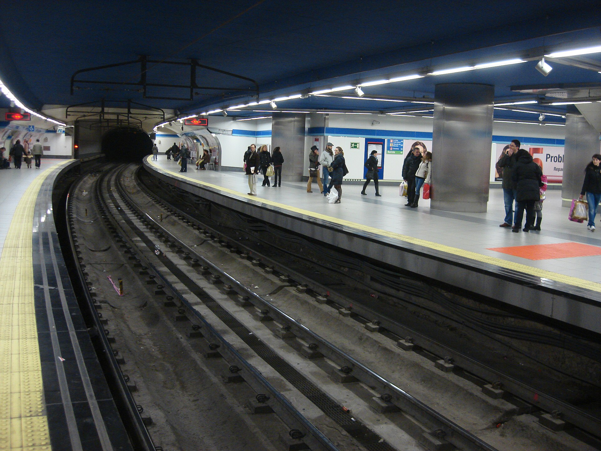
The Metro de Madrid runs a dense network under the centre, on a fare system organised by zones, explained in full in the guide to how the Madrid Metro fare system works. Above ground, the EMT bus network covers routes the metro doesn’t, and for journeys out to the wider region, Cercanías often beats the metro on speed for longer hops. General orientation on how these fit together sits in the site’s Getting Around section.
None of this changes the basic fact about the centre itself: within the area bounded roughly by Gran Vía, the Manzanares, and Retiro park, walking is usually faster than waiting for and riding transport for a single stop, once time spent underground and transferring is counted honestly.
Does walkability differ for residents versus a short visit?
For a short stay, the compactness of the centre is close to an unqualified advantage — hotels, museums and squares cluster tightly enough that a visitor rarely needs transport at all during daylight hours.
For residents, the calculation shifts with routine. A daily commute from an outer district into the centre, a supermarket run, or a wet-weather school run make the transport network — and specifically a rechargeable card of the kind detailed in the comparison of the Multi card and the annual Abono — more relevant than it is to someone spending three days near Sol. Late at night, when metro service has stopped, Madrid’s Búho night bus network covers routes the daytime system doesn’t, radiating out from the centre through the small hours.
What is the practical takeaway on distances?
As a rough reference, walking times from Puerta del Sol to other central points:
- Plaza Mayor: 5–7 minutes
- Royal Palace / Almudena Cathedral: 12–15 minutes
- Prado Museum: around 15 minutes
- Plaza de España / Gran Vía’s western end: around 20 minutes
- Retiro park’s nearest gate: 15–20 minutes
These are approximate, measured on the direct or near-direct route; actual time depends on which streets are open, pedestrianised, or under work at a given moment, and on the walker’s pace. They hold up as a general shape regardless of exactly which crossing or entrance is used.
For a fuller picture of how the centre relates to districts further out, and how each barrio’s character and layout differ, the Neighbourhoods section covers individual districts in detail, and the explanation of the district and barrio system is the starting point for understanding how the whole city is organised beyond the walkable core.
Access Madrid is an independent guide written from published, checkable sources. We have not visited the places described here and we do not publish personal recommendations or invented ‘local favourites’ — where something is singled out as notable, we say who says so. Opening times, fares, closures and prices change at short notice, so treat everything here as a starting point and confirm with the museum, operator or venue directly before building a day around it. We give no advice on visas, insurance, health or safety; use your own government’s official guidance for those.
Featured image: Photo by Ba-sr, source, CC BY-SA 3.0
