How Is Madrid Divided Into Districts and Barrios?
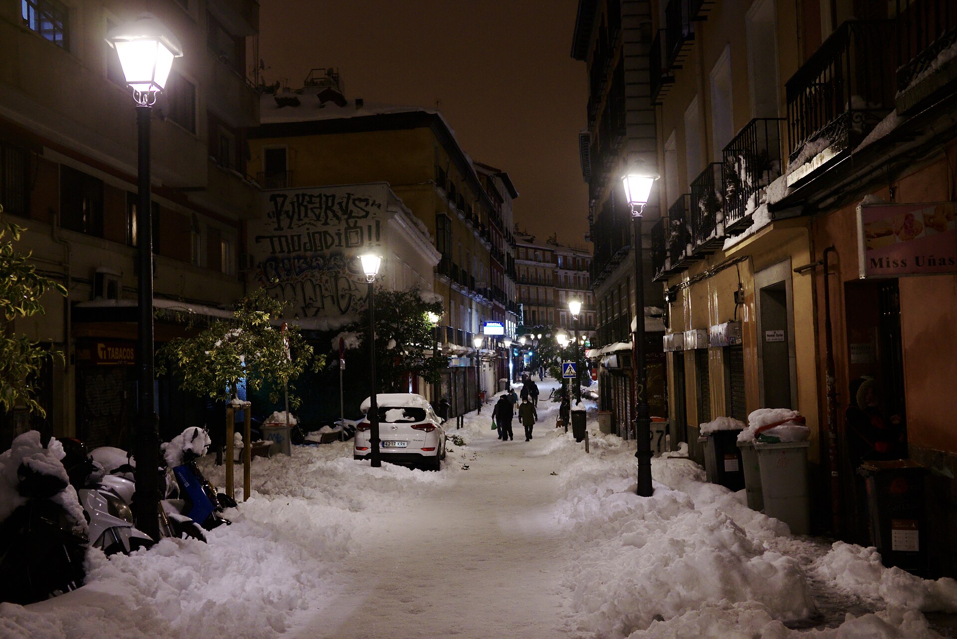
Buildings lining Calle de la Magdalena in Madrid

Madrid is divided into two administrative layers. The city is split into 21 distritos (districts), each governed by a junta municipal de distrito with its own office and budget. Each district is then subdivided into barrios (neighbourhoods) — 131 of them in total — which are smaller statistical and administrative units with no government of … Read more
What Is Moncloa-Aravaca? Madrid’s University District Explained

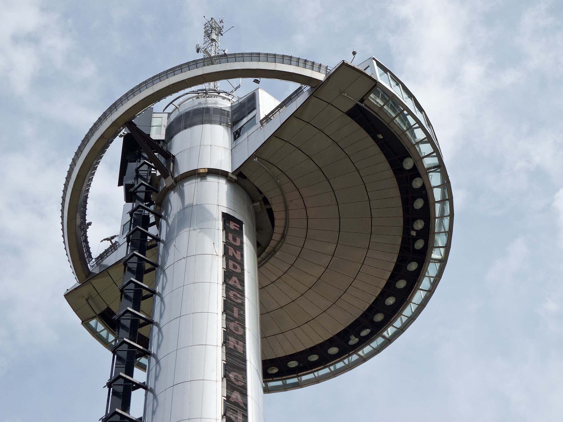
The Faro de Moncloa tower rising above Madrid

Moncloa-Aravaca is one of Madrid’s 21 administrative districts, covering the northwest of the city from the edge of the historic centre out to the M-30 ring road and beyond. It holds the main university campus, the city’s largest park, a government palace, and a scattering of quieter residential neighbourhoods further out. Where does Moncloa-Aravaca sit … Read more

What Is Vallecas? Madrid’s Working-Class District Explained

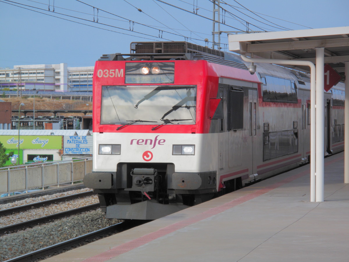
A Renfe Cercanías class 450 train standing at Vallecas station in Madrid

Vallecas is a large working-class area in southeastern Madrid, made up of two official city districts — Puente de Vallecas and Villa de Vallecas. It was an independent town until 1950, and it has kept a distinct identity ever since, built around migration, football, and a strong tradition of neighbourhood organising. Where is Vallecas, and … Read more

What Is Carabanchel, and What Is Happening to It?

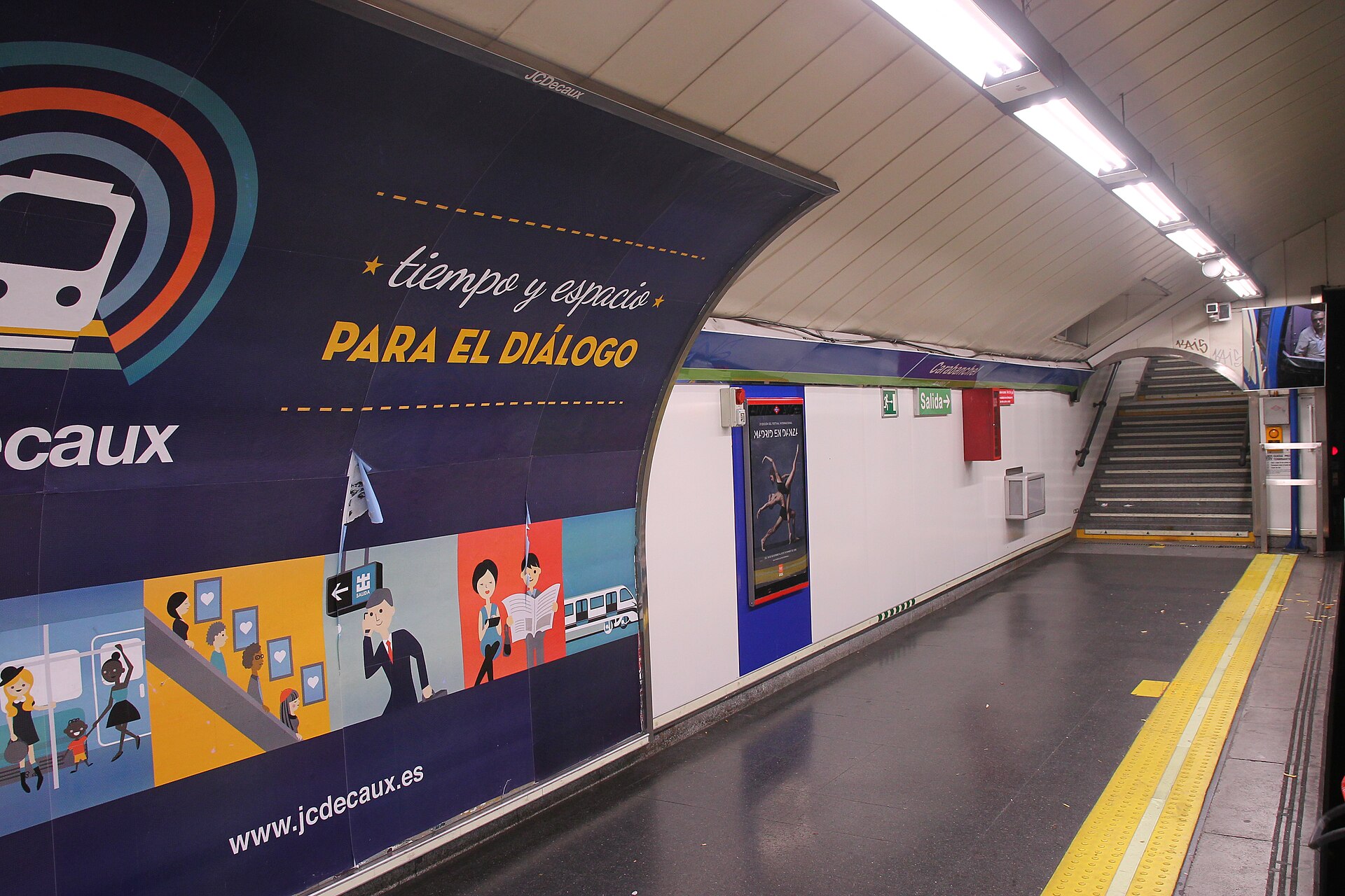
Carabanchel station in Madrid

Carabanchel is one of Madrid’s 21 administrative districts, occupying a large stretch of the city’s south, south-west of the centre and across the M-30 ring road from Arganzuela. It was a working-class, largely industrial and immigrant district for most of the 20th century and is now the subject of repeated press coverage describing rising rents, … Read more

What Is Usera, and Why Is It Known for Its Chinese Community?

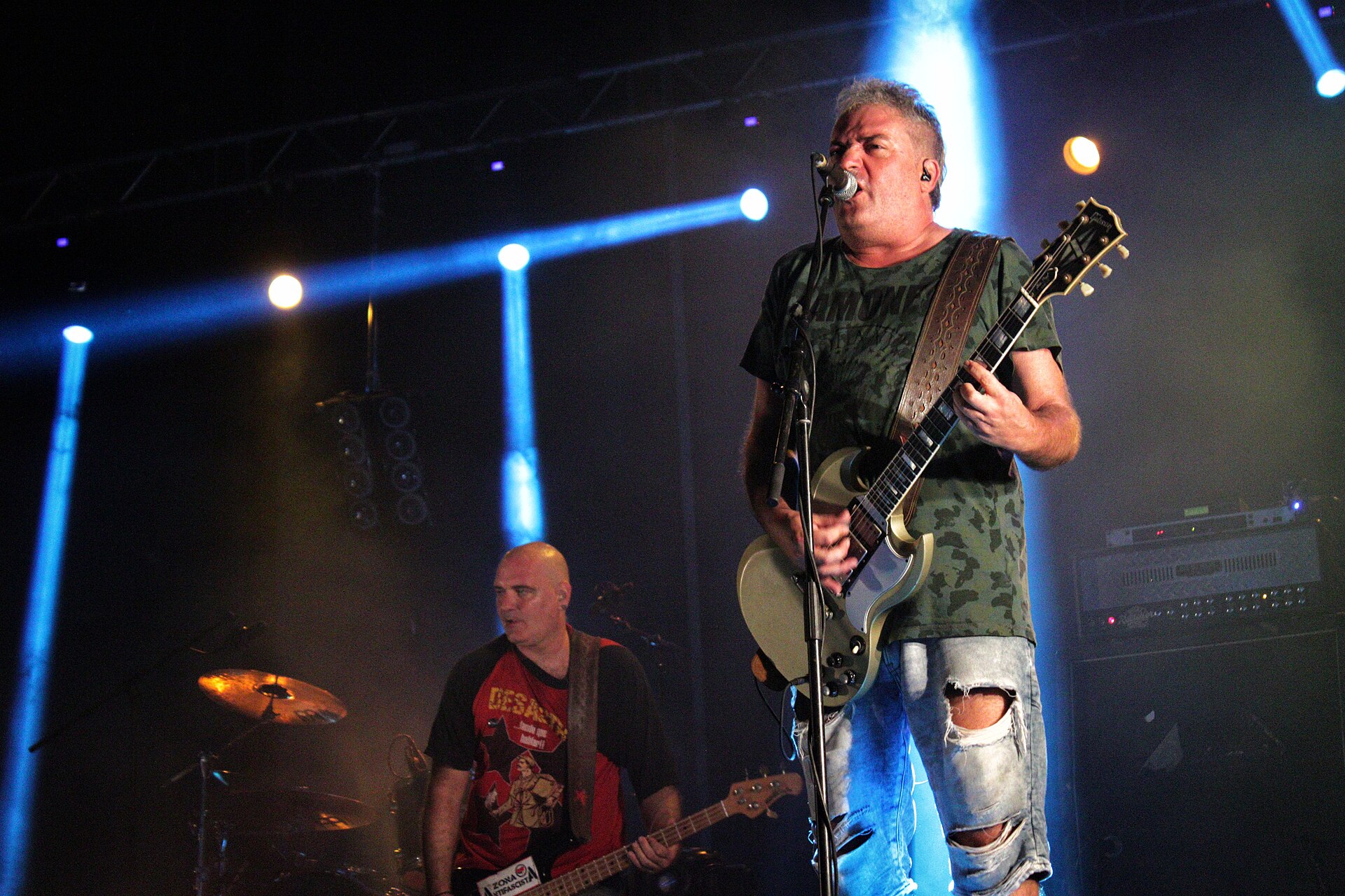
Concert by the punk-rock band Reincidentes during the Usera festivities in Madrid

Usera is one of Madrid’s twenty-one administrative districts, on the southern bank of the Manzanares river directly opposite Arganzuela. It has, for years, recorded the highest concentration of Chinese-origin residents of any district in the city, a pattern that took shape from the 1990s onward and is now visible in its shopfronts, wholesale businesses and … Read more

What Is Tetuán? Madrid’s District North of Chamberí Explained

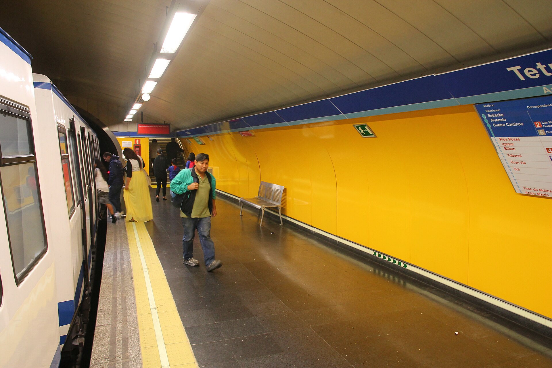
Tetuán station

Tetuán is one of Madrid’s 21 administrative districts, sitting north of Chamberí and south of Fuencarral-El Pardo, roughly between Paseo de la Castellana and the old road out to Fuencarral. It began as a separate settlement outside the city, was folded into Madrid in 1948, and today is a dense, largely residential and commercial district … Read more

What Is the Retiro District, Beyond the Park?

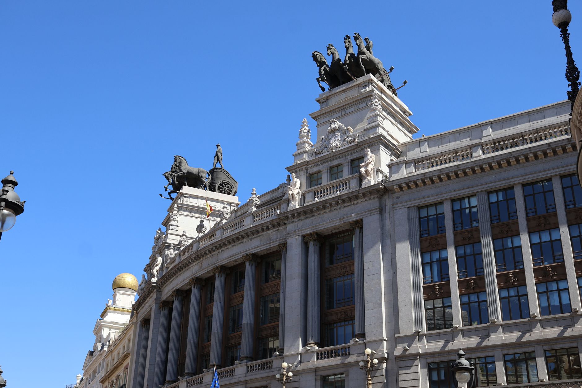
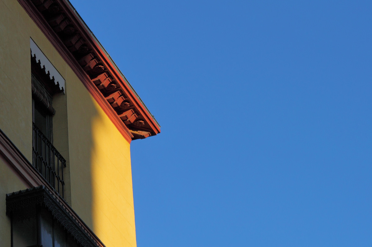
Majestic view of historic architecture in Madrid, Spain under a clear blue sky

Retiro is one of Madrid’s 21 administrative districts (distritos), and the park most visitors know by that name occupies only its western edge. The district itself is a wedge of largely residential city east of the park, made up of six official neighbourhoods (barrios), stretching from Paseo del Prado to the Calle O’Donnell corridor and … Read more

What Is Arganzuela, and What Is Madrid Río? Explained

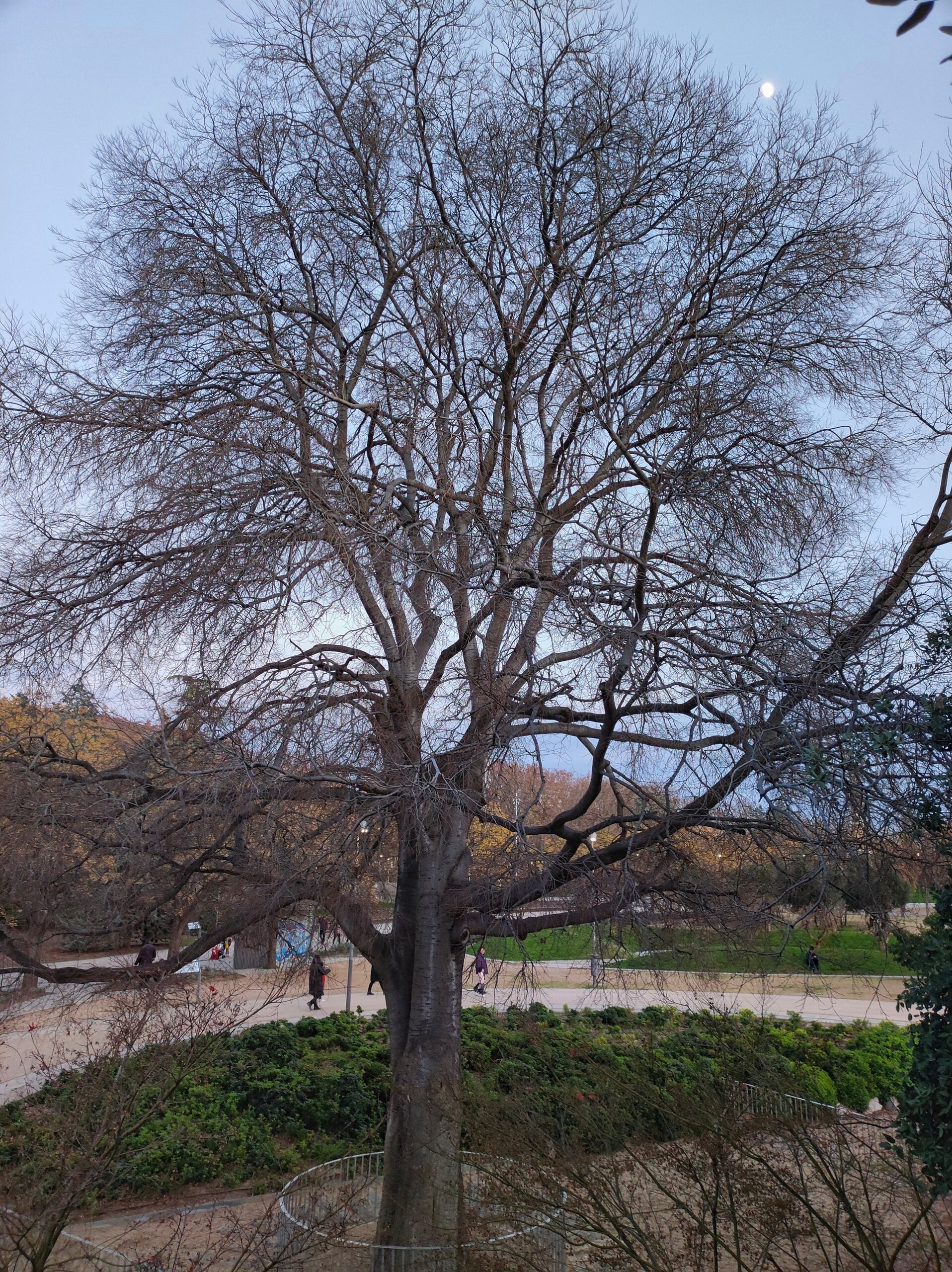
The Arganzuela hackberry tree, listed as a singular tree of the Madrid region

Arganzuela is one of Madrid’s 21 administrative districts, sitting immediately south of the historic centre along the Manzanares river. Madrid Río is not a district but a long riverside park, built largely within Arganzuela, that covers a stretch of ring road buried underground between 2005 and 2011. One is an area of the city; the … Read more

What Is Madrid de los Austrias? Habsburg Madrid Explained

A house in the Los Austrias quarter of Madrid

Madrid de los Austrias — “Habsburg Madrid” — is not an administrative district but a name for the oldest surviving core of the city, built up while the Spanish Habsburgs (called los Austrias in Spanish) ruled from Madrid between 1561 and 1700. It covers roughly the area around Plaza Mayor, Plaza de la Villa, and … Read more

What Is the Barrio de las Letras, and Who Lived There?

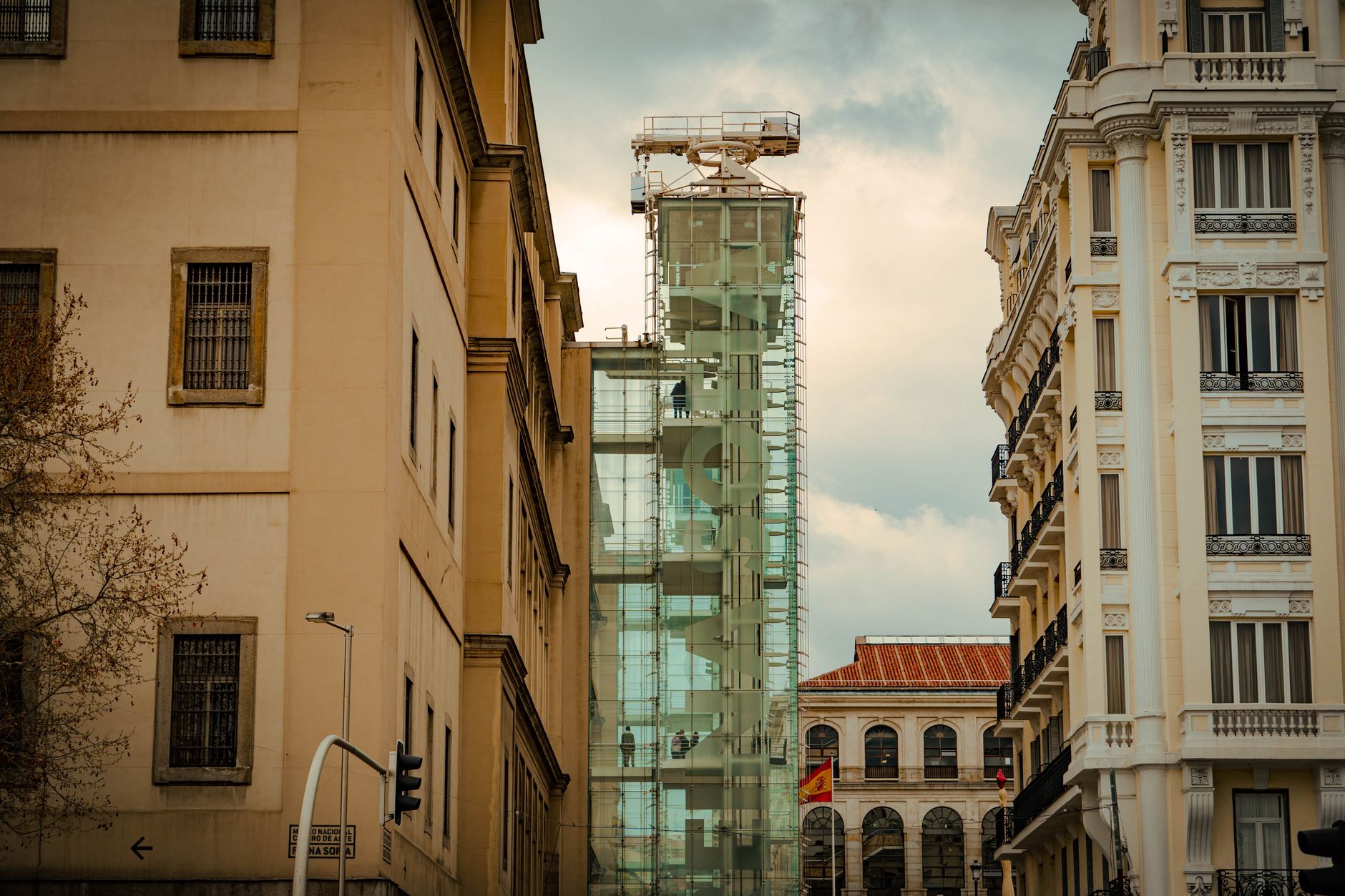
View of modern and classic architecture in central Madrid, Spain

The Barrio de las Letras is a small district in central Madrid, roughly bounded by the Carrera de San Jerónimo, the Paseo del Prado, Calle de Atocha and Plaza de Santa Ana. It takes its name from the writers of Spain’s Golden Age — Miguel de Cervantes, Lope de Vega, Francisco de Quevedo and Luis … Read more

About what you read here. Access Madrid is an independent guide written from published, checkable sources — museum and transport operators’ own information, official city and tourism data, and the public record. We have not visited the places we write about, and we do not publish personal recommendations or invented “local favourites”. Where we point to something notable we say who says so.

Opening times, fares, closures and prices change, often at short notice. Everything here is a starting point, not a booking confirmation — always check the venue’s or operator’s own site before you build a day around it. We are not a travel agency and we give no advice on visas, insurance, health or safety requirements; for those, use your own government’s official guidance.