Carabanchel is one of Madrid’s 21 administrative districts, occupying a large stretch of the city’s south, south-west of the centre and across the M-30 ring road from Arganzuela. It was a working-class, largely industrial and immigrant district for most of the 20th century and is now the subject of repeated press coverage describing rising rents, an influx of younger residents and artists, and comparisons to earlier waves of change in central neighbourhoods.
Where is Carabanchel, and how is it divided?
Carabanchel sits south-west of the Río Manzanares, bordered by Latina, Usera and the M-40 motorway that marks much of Madrid’s southern edge. It is one of the largest districts in the city by both area and population, and the Ayuntamiento de Madrid’s own population register lists it among the most populous, with several hundred thousand residents.
Administratively, Carabanchel is split into seven barrios (neighbourhood subdivisions): Comillas, Opañel, San Isidro, Vista Alegre, Puerta Bonita, Buenavista and Abrantes. Each has its own character and building stock, from dense early-20th-century blocks near the centre of the district to postwar social housing further south. This internal variety matters: parts of Carabanchel closest to Latina and the river have seen far more visible change than the barrios further from the metro network.
What is the history of Carabanchel?
Carabanchel began as two separate municipalities, Carabanchel Alto and Carabanchel Bajo, outside Madrid’s historic boundary. Along with a number of other surrounding towns, they were formally annexed to the city of Madrid in 1948, as part of a broad expansion of the municipal boundary carried out under Franco. Before annexation the area had a rural and semi-industrial character, with some military installations and brickworks; afterwards it absorbed large numbers of migrants arriving in Madrid from other parts of Spain during the internal migrations of the 1950s and 1960s, housed in rapidly built blocks of flats.
That history of cheap housing built for incoming labour is the throughline of Carabanchel’s story. In more recent decades the district has also received significant international immigration, giving it, alongside districts such as Usera and its Chinese community, one of the more internationally mixed populations in the city.
What happened to the Carabanchel prison?
For much of the second half of the 20th century, Carabanchel was defined nationally by the Cárcel de Carabanchel, a large prison built in the 1940s that became known for holding political prisoners during the Franco dictatorship, including figures jailed for opposition activity, alongside a general civilian and later remand population. It closed in 1998 and stood empty and disputed for a decade, becoming a point of contention between residents’ groups who wanted the site opened as parkland or public facilities and developers proposing housing.
The building was demolished in 2008–2009. Part of the site was subsequently developed for housing and public green space, though the process was contested locally and is documented in Spanish press coverage of the period rather than in any single official account. The episode is a useful marker for understanding the district: unlike the palaces and gates covered under Madrid’s landmarks and sights, Carabanchel’s defining 20th-century structure was a place of confinement, not ceremony.

What is happening to Carabanchel now?
Since roughly the mid-2010s, Spanish and international press have reported a marked shift in parts of Carabanchel, describing an influx of artists, young professionals and small creative businesses drawn by rents lower than in central districts, along with the opening of studios and informal cultural venues in former industrial and commercial premises. Coverage of this kind — in outlets such as El País and international titles reporting on Madrid housing pressure — frames Carabanchel as following a pattern already visible in Malasaña and Lavapiés in earlier decades: an outlying or lower-cost area absorbing residents priced out of the centre, followed by rising rents and, eventually, disputes over displacement of longer-standing residents.
Reporting on this process should be read as exactly that — reporting, not a settled verdict. Rent levels, vacancy rates and the pace of turnover are the kind of figures that change year to year and are best checked against current data from the Ayuntamiento de Madrid or the Comunidad de Madrid’s housing statistics rather than taken from any single article, however recent. What is durable is the underlying structural fact: Carabanchel has cheaper, older housing stock and better transport links than it did decades ago, which is the same combination that has driven change in other Madrid neighbourhoods.
This is not a phenomenon unique to Carabanchel. La Latina, immediately to its north, went through comparable pressure earlier and is now firmly established as a higher-cost, high-footfall district. Whether Carabanchel follows the same trajectory in full, or settles into a more mixed and slower pattern of change, is not yet something that can be stated as settled fact.
How do you get to Carabanchel?
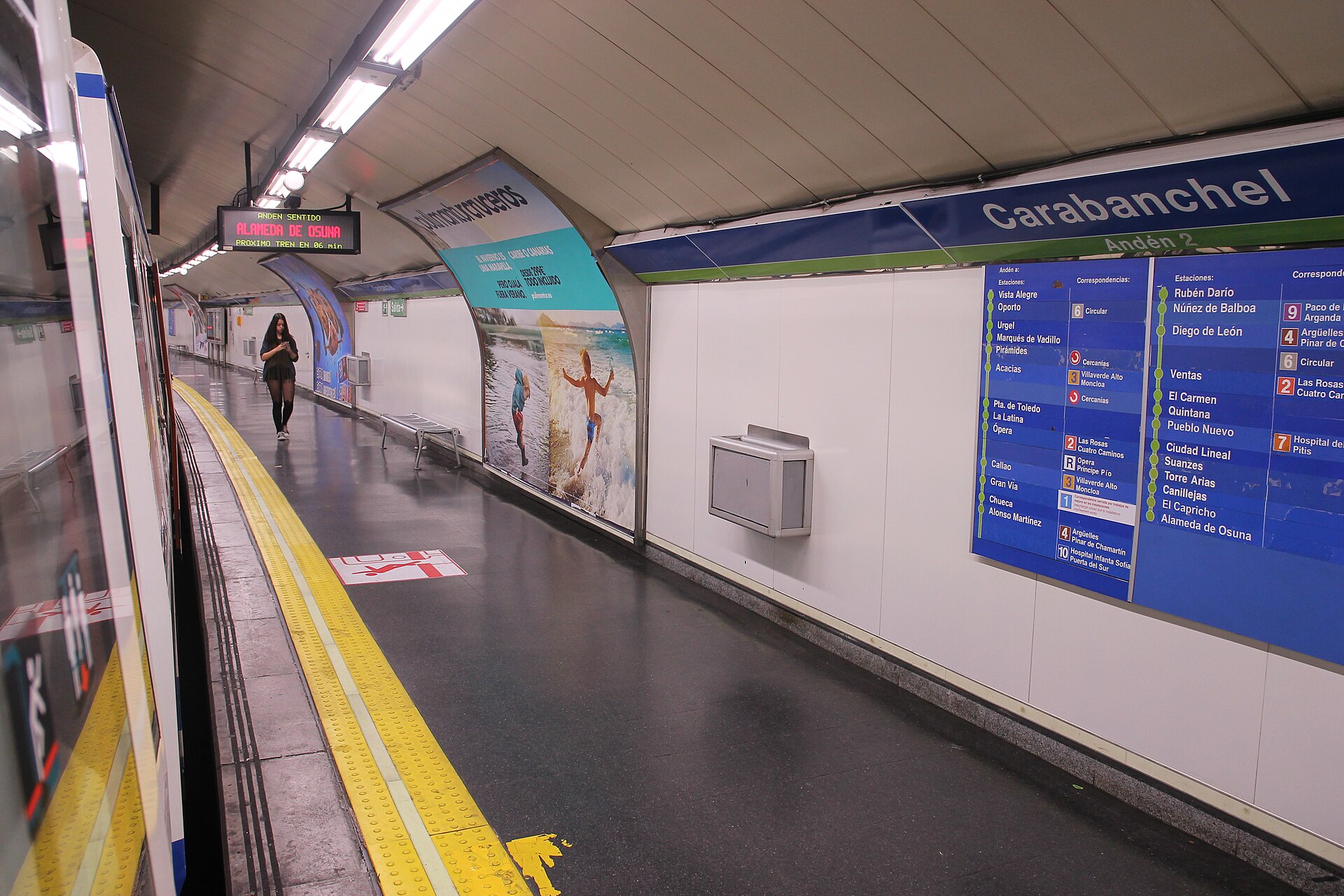
Carabanchel is served by several lines of the Metro de Madrid network, which cross the district from north to south and connect it to central Madrid and to neighbouring Latina and Usera. As with any transport detail, exact line routings, interchange stations and fares should be confirmed on the operator’s own site, Metro de Madrid, since the network’s structure and pricing are reviewed periodically. The district is not on the main tourist metro corridors that connect the Prado, Puerta del Sol or Gran Vía, which is itself informative: Carabanchel functions as a residential district first, reached by residents commuting inward rather than by visitors moving between sights.
For anyone living in the area rather than passing through, the relevant practical point is that a rechargeable travel card covering Madrid’s zonal fare system works the same way here as anywhere else in the city; Carabanchel sits within the standard Zone A of the Consorcio Regional de Transportes de Madrid.
Is there anything to see in Carabanchel?
Carabanchel has no equivalent of the Prado, the Royal Palace or the gates and squares that define central Madrid’s tourist geography, and this guide does not pretend otherwise. Its interest for an outside reader is structural rather than monumental: it is a case study in how a large working-class Madrid district, built around annexation, migration and a prison that no longer exists, is being reshaped by the same housing pressures affecting the rest of the city.
Readers interested in the built environment of Madrid’s outer districts more generally, including how former industrial and institutional sites get repurposed, may find a useful comparison in Arganzuela and the Madrid Río project, which turned a former rail and riverside industrial corridor bordering Carabanchel into parkland — a different outcome to the same kind of question the old prison site raised.
How does Carabanchel compare with Madrid’s other changing districts?
Madrid’s centre-adjacent districts have each gone through a version of this cycle at a different point: Lavapiés and Malasaña in earlier decades, La Latina somewhat after them, and now Carabanchel and parts of Usera further out. The pattern reported by journalists — lower rents attracting incomers, followed by rising prices and debate over who is displaced — recurs across the city rather than being specific to any one place.
What distinguishes Carabanchel is scale and origin: it is larger than most of the districts commonly discussed in this context, its 20th-century identity was built on state housing policy and a prison rather than on a bohemian or artisan past, and its current transformation is correspondingly reported as still in progress rather than complete. For a broader sense of how Madrid’s district system works and how neighbourhoods relate to one another, the Neighbourhoods section covers the city’s other districts on the same terms — what each one is, not what it is being sold as.
Access Madrid is an independent guide written from published, checkable sources. We have not visited the places described here and we do not publish personal recommendations or invented ‘local favourites’ — where something is singled out as notable, we say who says so. Opening times, fares, closures and prices change at short notice, so treat everything here as a starting point and confirm with the museum, operator or venue directly before building a day around it. We give no advice on visas, insurance, health or safety; use your own government’s official guidance for those.
Featured image: Photo by Draceane, source, CC BY-SA 4.0
