La Latina is one of the six barrios that make up Madrid’s central district, distrito Centro, sitting just south and west of Plaza Mayor on the slope that drops toward the Manzanares river. It takes its name from Beatriz Galindo, a scholar known as “La Latina,” and its layout still follows the medieval street plan of the city’s earliest settled ground.
What Is La Latina, Exactly?
La Latina is a barrio — an administrative neighbourhood unit — within distrito Centro, the city council’s central district. Madrid’s Ayuntamiento (city council) divides the municipality into 21 districts, each split into barrios; Centro’s six are Sol, Palacio, Embajadores, Cortes, Justicia and La Latina. La Latina occupies the southwestern portion of that district, running roughly from the area around the Basílica de San Francisco el Grande and the old Puerta de Moros down toward the Puerta de Toledo.
Where Does the Name Come From?
The name refers to Beatriz Galindo (1465–1534), a Latin scholar and tutor to the children of Queen Isabella I of Castile, who was known by the epithet “La Latina” for her command of the classical language. Galindo and her husband, the military commander Francisco Ramírez de Madrid, endowed a hospital in this part of the city in the early 1500s. The hospital building itself is gone, but its name attached itself permanently to the surrounding streets and, eventually, to the barrio as a whole.
How Old Is the District?
La Latina sits on ground that was already inhabited when Madrid was founded as a fortified settlement — Mayrit — under the Emirate of Córdoba in the ninth century. The area lay just outside or along the line of the old Muslim-era wall, in what became known after the Christian conquest of 1085 as the Morería, the quarter where the city’s Muslim population continued to live under Christian rule. The old Puerta de Moros (“Gate of the Moors”), whose name survives in a small square near the basilica, marked one of the access points into this quarter. That makes La Latina, along with neighbouring Lavapiés, one of the oldest continuously occupied parts of the modern city.
What Shaped Its Streets and Layout?
La Latina’s streets are narrow, steep and irregular by the standards of Madrid’s later, planned expansions — a direct result of growing up organically along a hillside rather than being laid out on flat ground. Cava Baja and Cava Alta, two of the barrio’s best-known streets, take their name from “cava,” a term for the ditch or moat that once ran outside the old city walls; the streets follow the former line of that fortification rather than any deliberate urban design. This is part of why the district reads so differently from the grid-like Barrio de Salamanca or the wide diagonal of Gran Vía, cut through the city centuries later.

What Is El Rastro, and Why Is It Here?
El Rastro is Madrid’s long-running open-air flea market, held on Sundays and public holidays along the Ribera de Curtidores and the surrounding streets at the southern edge of La Latina. Its name and location both trace back to the tanning trade: “curtidores” means tanners, and the ravine here once carried the runoff needed for that work, along with the slaughterhouses that operated nearby before being relocated. The trade is long gone, but the market that grew up around it has continued for centuries and remains one of the largest regular street markets in the city, drawing both dealers in antiques and general secondhand stalls.
What Landmarks Define La Latina?
Several buildings anchor the barrio and are documented in their own right:
- The Basílica de San Francisco el Grande, a large neoclassical church with one of the widest domes in Spain, standing on the site of a much older Franciscan foundation.
- The Puerta de Toledo, a neoclassical triumphal gate marking the barrio’s southern boundary, built in the early nineteenth century as one of Madrid’s ceremonial entrances.
- The Plaza de la Cebada and the adjoining Mercado de la Cebada, a covered market that has occupied this square, in various built forms, since the nineteenth century, on a site long used for public gatherings and markets before that.
La Latina also borders the historic core around Plaza Mayor and lies within easy reach of Puerta del Sol, the square marking Kilometre Zero for Spain’s radial road network, and of the Royal Palace and Almudena Cathedral complex just to the north.
How Does La Latina Fit Into Madrid’s Administrative Map?
Distrito Centro is the smallest of Madrid’s 21 districts by area but one of the most densely built, and La Latina is its most topographically distinct barrio, defined by the drop toward the river rather than a straight-line boundary. The Ayuntamiento de Madrid publishes district and barrio boundaries, population data and planning information for the area on its own site, which is the authoritative source for current administrative detail rather than any secondary description.
How Is La Latina Used Today?
The barrio functions as a residential neighbourhood with a concentrated stretch of bars and small restaurants, particularly along Cava Baja, alongside the weekly rhythm set by El Rastro. Because the street plan predates modern traffic planning, much of the interior of the barrio is pedestrian-scaled, with steps and slopes connecting different levels of the old hillside settlement. For a broader sense of how this fits against Madrid’s other historic quarters and monuments, the Landmarks & Sights archive covers the surrounding gates, churches and squares in more detail, while the Museums & Galleries archive covers the collections held in nearby institutions.
Anyone planning a visit around current opening arrangements for El Rastro, the Mercado de la Cebada or any of the barrio’s landmarks should confirm details directly with the Ayuntamiento de Madrid or the relevant institution, since market days and building hours are subject to change independent of the historical facts set out here.
Access Madrid is an independent guide written from published, checkable sources. We have not visited the places described here and we do not publish personal recommendations or invented ‘local favourites’ — where something is singled out as notable, we say who says so. Opening times, fares, closures and prices change at short notice, so treat everything here as a starting point and confirm with the museum, operator or venue directly before building a day around it. We give no advice on visas, insurance, health or safety; use your own government’s official guidance for those.
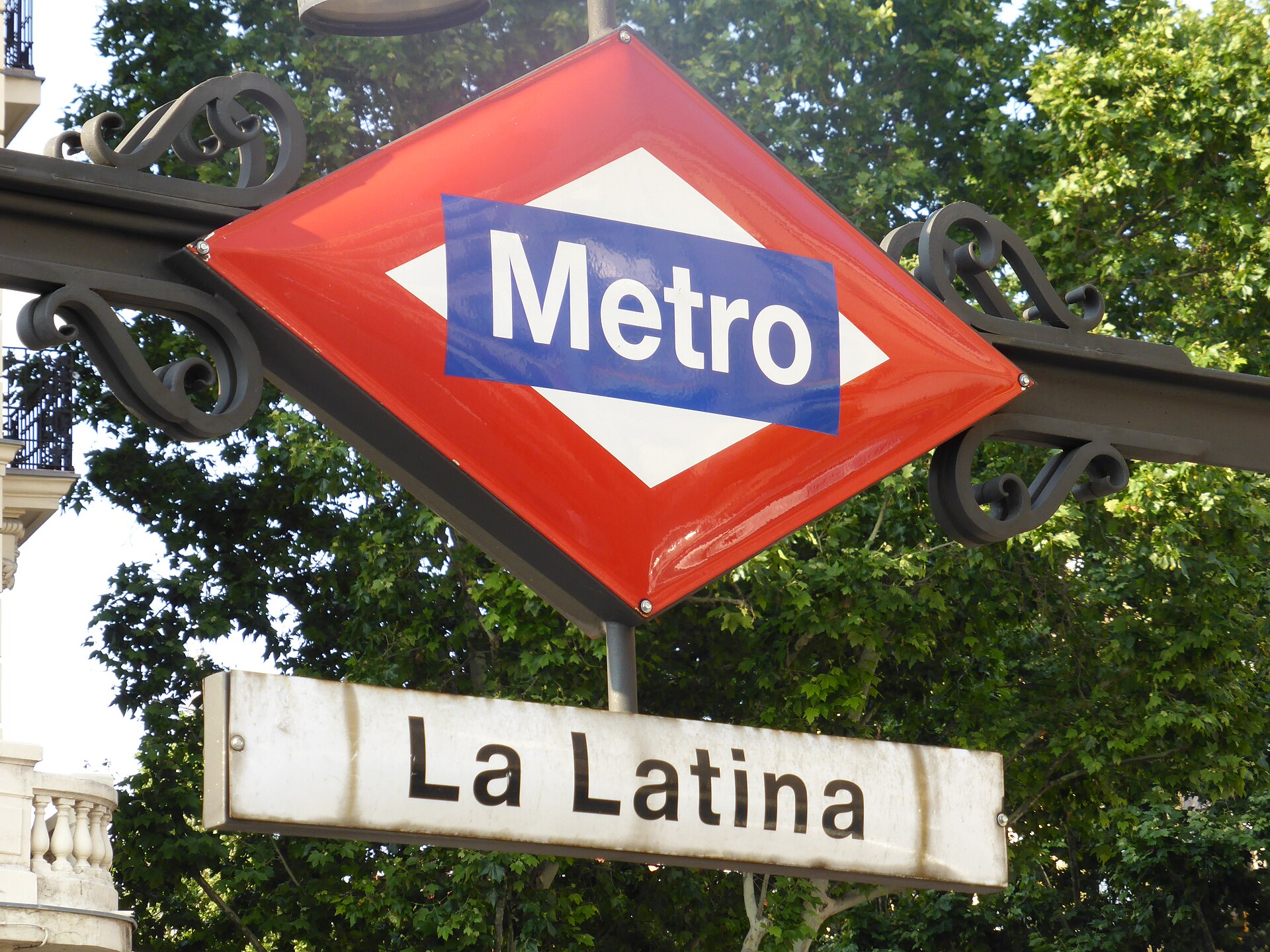
Featured image: Photo by Draceane, source, CC BY-SA 4.0
.jpg)