Madrid’s districts differ mainly by three things: distance from the centre, the year most of the housing was built, and how directly they connect to the metro and Cercanías rail network. Central districts are dense, older and expensive; outer districts are larger, newer and cheaper, with living standards that depend heavily on which transport line reaches them.
What does “district” actually mean in Madrid?
Madrid is organised by the Ayuntamiento de Madrid (city council) into 21 administrative districts, each subdivided into smaller barrios. A district is a formal unit of local government, with its own council office (junta municipal) handling local services; a barrio is the informal, historic neighbourhood name residents actually use. Centro, for instance, is one district but contains distinct barrios such as Palacio, Embajadores, Cortes, Justicia and Universidad — names that map roughly onto La Latina, Lavapiés, Barrio de las Letras, Chueca and Malasaña. A full breakdown of how the system works, and which barrios sit inside which district, is covered separately at Madrid’s districts and barrios explained.
This matters for daily life because municipal services — libraries, sports centres, some social programmes — are organised by district, not by the more casually drawn barrio boundaries a visitor might read on a map.
What is it like living in the central districts?
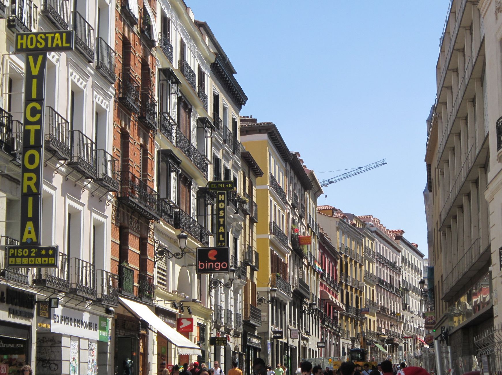
Centro, Chamberí, Salamanca, Retiro and Arganzuela form the historic and near-historic core. Housing here is mostly pre-war apartment blocks, often five or six storeys without a lift in older buildings, and flats are smaller on average than in the outer ring.
- Centro is the oldest district and the densest, covering the areas detailed in Madrid de los Austrias and the literary streets of the Barrio de las Letras. It falls inside Madrid Central, the city’s low-emission zone restricting car access, a policy the council administers and updates on its own site.
- Salamanca, laid out in the 19th century in a strict grid, is the district most associated with upmarket retail and holds a concentration of the city’s Michelin-recognised restaurants, a designation explained at Madrid’s Michelin Guide: Stars, Bib Gourmand and what they mean.
- Chamberí retains a disused 1919 metro station, now a small museum run by the transport authority, described at Chamberí’s ghost station.
- Retiro is a district as well as a park; the residential streets around Parque del Retiro are covered at Retiro district beyond the park.
- Arganzuela runs along the Manzanares river and was reshaped by the Madrid Río redevelopment, detailed at Madrid Río and what was there before.
Within Centro, Chueca, Malasaña and Lavapiés function almost as separate identities, each with its own history and pace, while La Latina anchors the area around El Rastro market.
What is it like living further out?
Beyond the M-30 ring road, districts get physically larger, younger in housing stock, and more varied in character. Several are covered individually because their identity doesn’t reduce to “outer Madrid”:
- Vallecas (split administratively into Puente de Vallecas and Villa de Vallecas) is one of the city’s largest and most working-class districts, long associated with Rayo Vallecano football club.
- Carabanchel, in the south, is one of Madrid’s most populous districts and has seen significant new housing development in recent decades.
- Usera holds Madrid’s most established Chinese community, reflected in its shops and associations.
- Tetuán sits north of the centre and combines older working-class streets with newer development near the Cuatro Torres business area.
- Moncloa-Aravaca is geographically the largest district, stretching from Ciudad Universitaria out toward the Casa de Campo and the city’s western edge, and includes the Faro de Moncloa viewpoint.
These districts generally offer more square metres per euro of rent than the centre, at the cost of a longer commute — a trade-off that shows up consistently in city housing statistics published by the Ayuntamiento and the Comunidad de Madrid, both of which release periodic data on rents and household size by district.
How does transport shape where people live?
Metro coverage is close to universal across the municipality, but journey time to the centre varies by line and by how many changes are required. Madrid’s fare system is zone-based, and a monthly travel pass (abono) is priced for residents differently from tourist tickets — the mechanics are laid out at the Madrid metro fare system explained and, for regular commuters, Multi card vs abono.
Cercanías commuter rail matters more to residents than to visitors: it connects outer districts and dormitory towns to the centre faster than the metro on some corridors, a distinction covered at Cercanías vs metro. The bus network run by EMT fills gaps the rail system doesn’t reach, particularly in newer southern and eastern districts, and the city’s night-bus (búho) service covers the hours when the metro closes.
Car ownership is shaped heavily by the low-emission zone rules covering central districts, which residents should check directly against the council’s published regulations rather than assume from a general guide — see Madrid’s low-emission zone explained.
What changes seasonally for someone actually living in a district?
August is the clearest seasonal marker: many small, family-run businesses across residential districts close for weeks, a pattern explained at what happens to Madrid in August, while the city’s own calendar of public holidays affects opening hours district by district — see Madrid’s public holidays explained. Local festivals (fiestas de barrio) run through spring and summer in most districts, organised by the district’s junta municipal, and dates should always be confirmed against that district’s own municipal listings rather than a generic calendar.
Heat is a genuine practical factor in choosing a district: streets with heavier tree cover and proximity to a park behave very differently in July than dense, paved central blocks, a distinction discussed at how Madrid handles summer heat.
How should a reader actually compare districts?
The honest comparison points are administrative (which district and junta municipal a street falls under), infrastructural (which metro or Cercanías line serves it and how many changes to the centre), and practical (rental data from the city or regional government, rather than anecdote). None of these are matters of atmosphere, and none should be taken from a single source without checking the operator’s or council’s own current figures.
For a wider view of how the city functions day to day — transport, food culture, and green space alongside neighbourhood character — the Living in Madrid hub and the Neighbourhoods archive collect the district-by-district and practical-planning material referenced above. Broader trip-planning context, including how districts relate to the city’s museums and landmarks, sits under the Madrid guide hub and Madrid Practical.
Access Madrid is an independent guide written from published, checkable sources. We have not visited the places described here and we do not publish personal recommendations or invented ‘local favourites’ — where something is singled out as notable, we say who says so. Opening times, fares, closures and prices change at short notice, so treat everything here as a starting point and confirm with the museum, operator or venue directly before building a day around it. We give no advice on visas, insurance, health or safety; use your own government’s official guidance for those.