Casa de Campo is Madrid’s largest park, a former royal hunting estate on the west bank of the Manzanares river, now open to the public and covering roughly 1,700 hectares — about five times the size of Parque del Retiro and among the largest urban parks in Europe.
What is Casa de Campo?
Casa de Campo (“country house” or “country estate”) is a large green space that sits opposite central Madrid, across the Manzanares, mostly within the Moncloa-Aravaca district with sections touching Latina. It was Crown property for roughly four centuries before it became municipal parkland, and it still carries the layout of a hunting ground: open scrubland, pine plantations, holm oaks, a reservoir-fed lake, and long unbroken tracts that feel closer to countryside than to a formal city garden.
It is not a single designed park in the way Retiro is. There is no unified 19th-century plan, no consistent avenue system, and no single architectural centrepiece. It reads instead as a working landscape that has had a zoo, an amusement park, a cable car, sports facilities and a convention centre added into it over the past century, alongside large stretches left largely as woodland and scrub. For context on the city’s other major green space, see what is actually inside Parque del Retiro.
How big is Casa de Campo, exactly?
The Ayuntamiento de Madrid (Madrid City Council), which manages the park, gives its area as approximately 1,700 hectares — figures in official material vary slightly between roughly 1,700 and 1,750 hectares depending on how boundary land is counted, but the order of magnitude is consistent. Confirm the current official figure on the city council’s own site.
Put another way:
- It is roughly five to six times the area of Parque del Retiro, which the city council lists at around 125 hectares.
- It is larger than New York’s Central Park (about 341 hectares), by a wide margin.
- It is one of the largest municipal parks in any European capital, a claim made in tourism and council material rather than a formally ranked title.
That scale is the main thing to understand about Casa de Campo before anything else: it is not walkable end to end in an afternoon the way Retiro is. Distances between its main features — the lake, the zoo, the amusement park, the cable car station — run into kilometres, and the park is used as much for cycling and running loops as for a stroll.
How did the park come to exist?
Casa de Campo dates back to the mid-16th century, when King Felipe II acquired land west of the Manzanares to extend royal hunting grounds attached to the Alcázar (the site later occupied by the Royal Palace). For roughly four hundred years it remained Crown property — a private reserve for royal hunting parties, closed to the general public, with the Manzanares acting as a natural boundary between the palace side of the river and the estate.
Its status changed with the arrival of the Second Spanish Republic in 1931, when royal patrimony was transferred to the state and, in this case, to the city of Madrid. Casa de Campo opened to the public that year and has functioned as a municipal park since. The Spanish Civil War left a mark on the site too: it sat on the front line during the Siege of Madrid in the late 1930s, and some fortification remains from that period survive within the park, documented in municipal and historical sources rather than actively promoted as a visitor attraction.
What is actually inside it?
Casa de Campo combines open woodland with a cluster of built attractions, most of them concentrated near the lake and the metro access points rather than spread evenly across the site.
- Zoo Aquarium de Madrid — the city’s zoo and aquarium, operated as a paid attraction within the park; details on species and current hours are published on its own site.
- Parque de Atracciones de Madrid — the city’s fixed amusement park, a separate paid attraction with its own operator and season.
- Teleférico de Madrid — a cable car linking Casa de Campo to the Parque del Oeste on the city side of the river, run as a scenic crossing rather than daily transport; it is one of the more distinctive ways to see the park’s scale from above.
- The lake (El Lago) — an artificial reservoir with rowing-boat hire and a promenade, one of the more built-up and heavily used parts of the park.
- Palacio Municipal de Congresos — the city’s convention centre, sited within the park’s boundary.
- Sports facilities, hiking and cycling trails, and large areas of pine and holm oak woodland that make up the bulk of the park’s actual acreage.
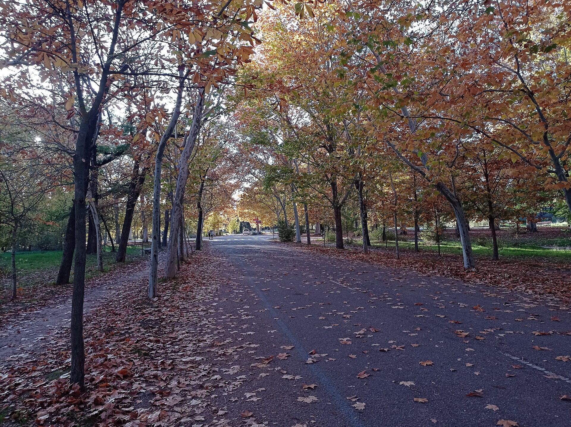

Anyone planning around these attractions should check current prices and calendars directly with the operators — the zoo, the amusement park and the cable car all publish their own hours and seasonal schedules, and none of them are free to enter. For a sense of how Madrid handles paid sites and timed access more broadly, see the guide to timed entry at Madrid’s major sites.
How do you get there?
The park is served directly by Madrid Metro Line 10, with Lago and Casa de Campo stations both opening onto the park grounds — a practical detail covered in the wider explanation of how the Madrid Metro fare system works. The Teleférico offers an alternative route in, departing from the Parque del Oeste side and landing within the park itself, which avoids the need to cross by road or bridge.
Cycling is a genuinely practical way to cover the park’s distances, and BiciMAD, the city’s bike-share scheme, has docking stations near several access points; see how BiciMAD works for how the system operates over a single trip or a longer stay. Given the acreage involved, walking the whole park in one visit is not realistic — most visits focus on one cluster of attractions (the lake and zoo area, for instance) rather than attempting the full site.
How does it compare to Retiro?
The comparison is useful because the two parks serve different functions for the city. Retiro sits inside the Retiro district close to the Paseo del Prado, is formally landscaped, and functions as an extension of the historic centre — small enough to walk fully in a couple of hours, dense with monuments like the Palacio de Cristal. Casa de Campo is the opposite in almost every respect: peripheral rather than central, informal rather than designed, and built for activities — cycling, running, boating, the zoo, the amusement park — rather than for a single contemplative walk.
Residents tend to use the two very differently. Retiro absorbs short visits and lunchtime walks from people working nearby; Casa de Campo draws people specifically for its sports facilities, its cycling loops, or a planned day out involving the zoo or the amusement park. For a broader sense of how green space fits into daily life in the city, the Parks & Outdoors archive covers both.
What should residents know about it that visitors might not?
The scale of Casa de Campo means conditions vary hugely across the site depending on the time of year and which section is in question — dense pine areas offer more shade in summer heat than the open scrubland closer to the park’s edges, which matters given how the guide to how Madrid handles summer heat describes the city’s typical July and August conditions. Long-term residents also tend to know the park across seasons rather than as a single visit: it functions differently in spring, when the woodland and lake areas draw far more foot traffic, than in the depths of August, described more generally in the piece on what happens to Madrid in August.
Because the park sits mostly within Moncloa-Aravaca, understanding that district’s shape helps explain why Casa de Campo is laid out the way it is — a large reserve at the edge of a district that is itself one of the city’s more spread-out administrative areas. The district-level context is set out in the guide to Moncloa-Aravaca as a Madrid district, and the wider system of how Madrid’s districts and barrios are organised is explained in the piece on how Madrid’s districts and barrios work.
Anyone building a fuller picture of what the city offers beyond its historic centre — parks, districts, transport and food together — can start from the main Madrid guide hub or the practical planning hub, both of which link out to the more specific pieces referenced here.
Access Madrid is an independent guide written from published, checkable sources. We have not visited the places described here and we do not publish personal recommendations or invented ‘local favourites’ — where something is singled out as notable, we say who says so. Opening times, fares, closures and prices change at short notice, so treat everything here as a starting point and confirm with the museum, operator or venue directly before building a day around it. We give no advice on visas, insurance, health or safety; use your own government’s official guidance for those.
Featured image: Photo by Justraveling.com, source, CC BY-SA 4.0
